Opens in a new tab
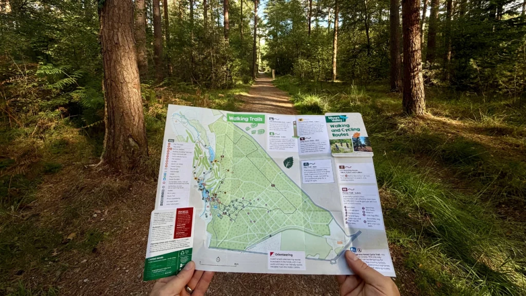
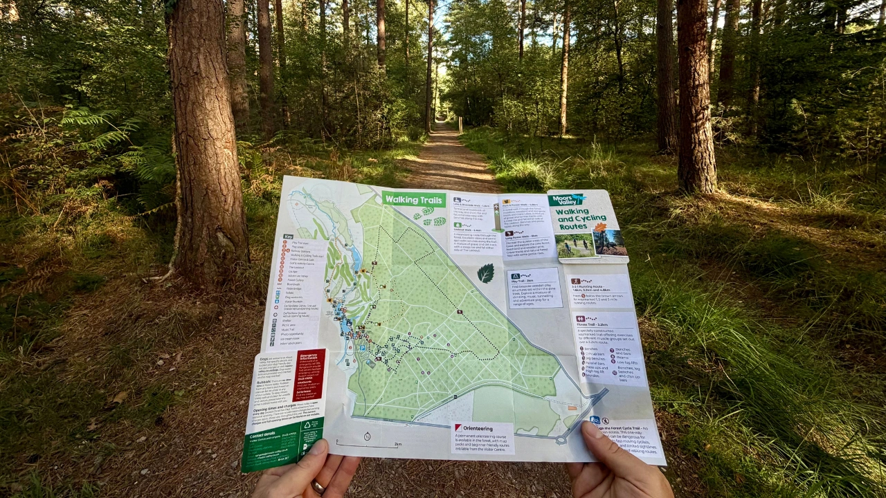
A person holds a walking trail map in a forest, standing on a dirt path surrounded by tall trees and green foliage. Sunlight filters through the leaves overhead.

Maps

Spanning 1000 acres, Moors Valley is a haven for people and wildlife. Whether you’re here for play, recreation, or education, there’s something for everyone. Use the maps below to help plan your visit and make the most of your day.
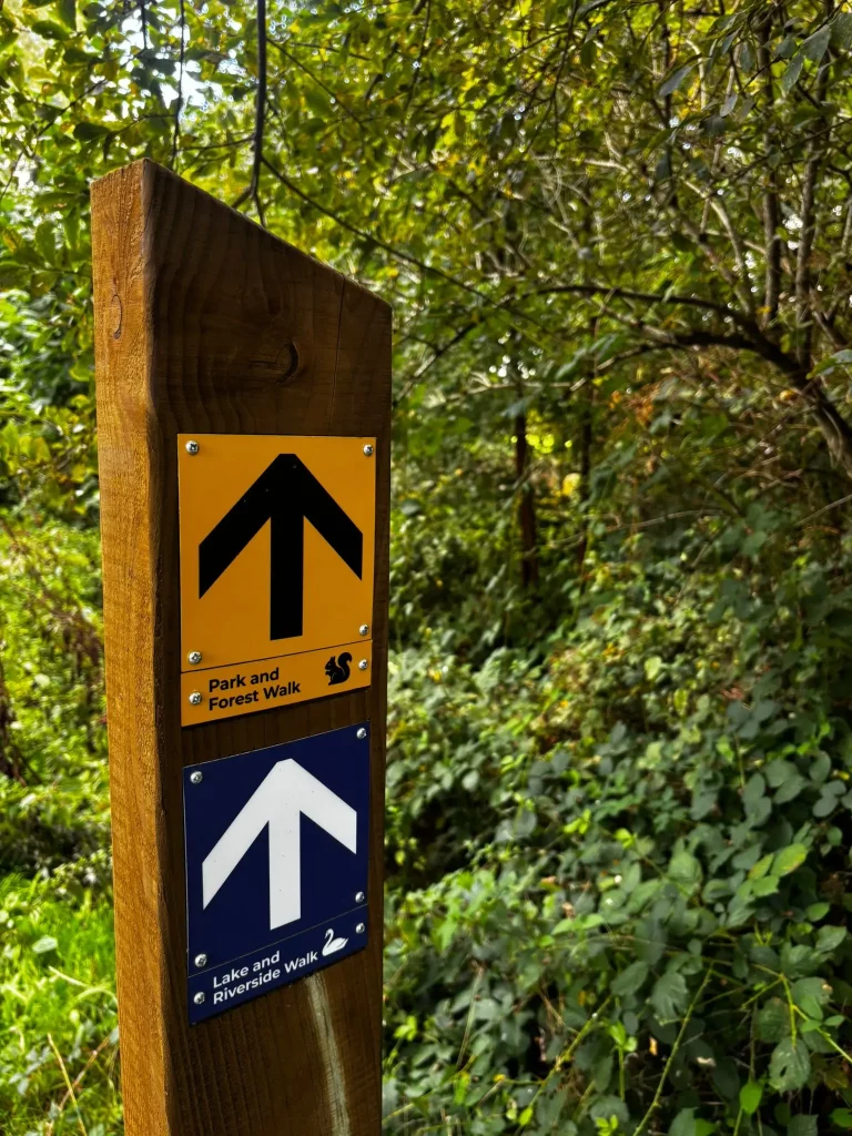
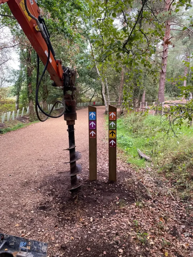
Signage Update

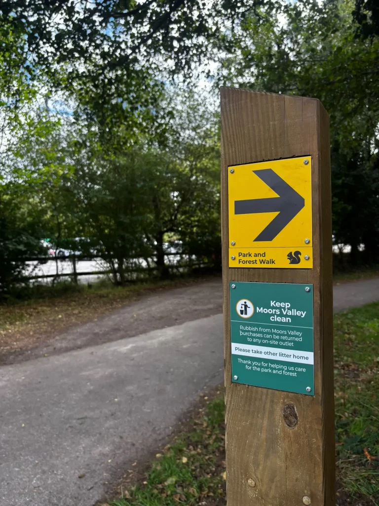
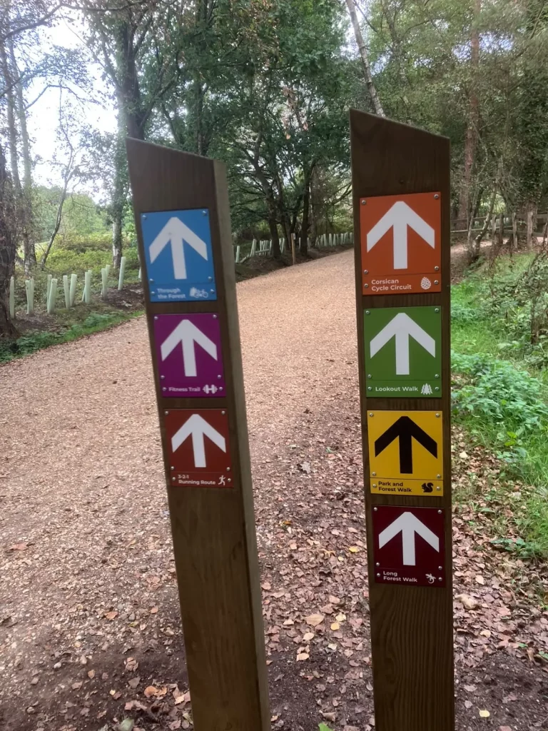
New waymarked signs are being installed across Moors Valley to help make our walking and cycling routes easier to follow. While you may notice some minor updates to colours and designs, the routes themselves remain exactly the same.

The refreshed signs feature a range of Moors Valley-inspired icons reflecting some of the wildlife and natural features you might spot during your visit.

We hope the new signage will make navigating our trails even clearer while celebrating the unique character of Moors Valley.

A ranger helps a visitor at the Information Point in the Moors Valley Visitor Centre. The ranger is behind the desk pointing and smiling, while the visitor stands opposite, looking at a map and smiling.

Play Map

A person holds a walking trail map in a forest, standing on a dirt path surrounded by tall trees and green foliage. Sunlight filters through the leaves overhead.

Walking Trails

Three cyclists, wearing helmets, ride on a paved path winding through a lush, green park at Moors Valley with tall grass and trees on a sunny day.

Cycling Trails

Fitness Trail At Moors Valley

Fitness Trail

Accessibility map

Accessibility

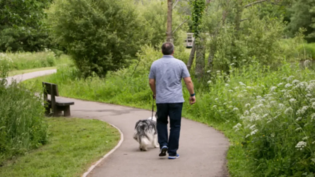
Dog Walking

Dog Walkers

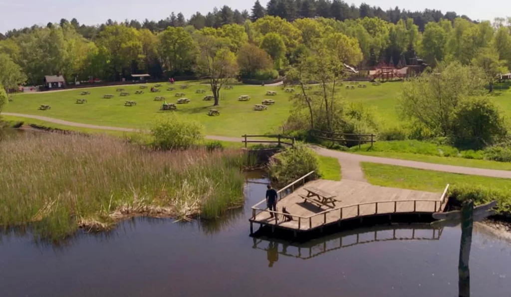
Moors Lake Audio Trail

Moors Lake Audio Trail

Mindfulness Trail

Mindfulness Audio Trail

A Moors Valley ranger pointing in a direction while showing a map to a man in a mobility scooter and a woman standing beside them at a Cycle Hire Centre.

Mobility Tramper

Horseridermap

Horse Riders

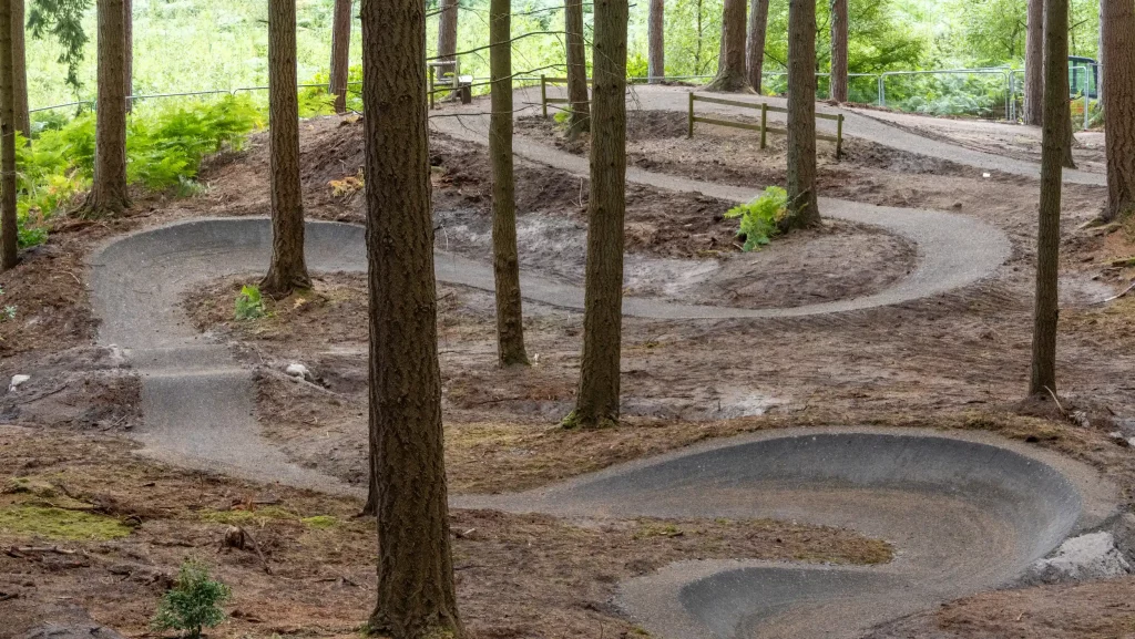
Watchmoor bike park (1)

Watchmoor Bike Park